Use the evidence and practical questions in this article to test your own assumptions. Any worked examples use hypothetical inputs.
Search the precise property
A Miami flood zone lookup should begin with the property address in FEMA’s Map Service Center. Confirm the map pin against the actual parcel rather than relying on a neighborhood name or a real-estate advertisement. Note the effective map panel, date and zone, and check for applicable map changes or letters. A property near a zone boundary deserves particular care because a pin or simplified screenshot can be misleading. Save the result with the date checked, then ask the local floodplain office or a qualified professional about questions that cannot be resolved from the public map alone.
Separate mapped flood risk from every water hazard
A flood zone is not a promise that a property outside a higher-risk area will never flood. Rainfall, drainage, storm surge, local elevation and building characteristics can affect the practical risk. A photograph of flooding elsewhere does not prove the same conditions at your address. Review local information and ask about the property’s documented flood history without assuming a seller’s informal statement is complete. For a purchase, consider elevation information, insurance quotes and any lender requirements together. A map lookup is one part of due diligence, not a replacement for an inspection or professional interpretation.
Turn the lookup into specific questions
Ask the insurer which flood policy is available, what it covers and whether the quote uses the details of the actual structure. Ask the lender what insurance conditions apply rather than treating a zone label as a complete loan decision. For a condo, distinguish an association’s building policy from coverage for your unit and contents. Keep map records, elevation documents, disclosures and written explanations together. If information conflicts, resolve it before a contractual deadline. A clear record of what was checked and what remains uncertain is more useful than a single confident label such as flood-free.
- Verify the parcel, effective panel and any applicable map amendments.
- Compare mapped information with elevation, drainage and property records.
- Obtain property-specific insurance and lender answers in writing.
Image source and usage
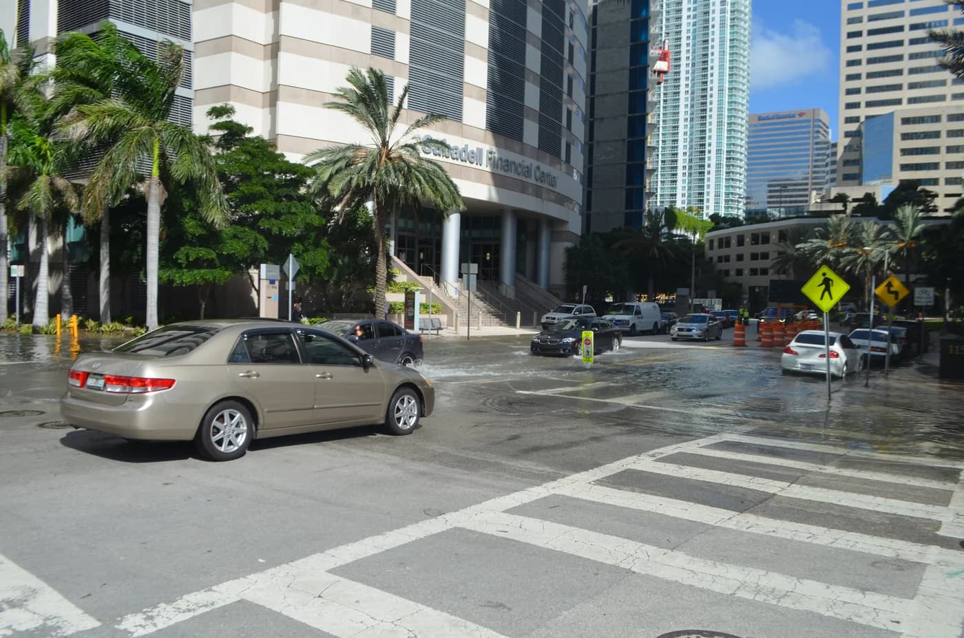
Archival tidal flooding on Brickell Bay Drive in Miami in 2016
B137
Source image · Image-use terms
Web versions are resized and compressed; attribution and applicable source terms are retained.
Frequently asked questions
Does a lower-risk zone mean zero flood risk?
No. Flooding can occur outside mapped higher-risk areas. Evaluate property conditions and available coverage as well as the map.
Is a real-estate listing’s zone label enough?
Use it only as a starting point. Verify the parcel and current FEMA information, and resolve discrepancies with appropriate professionals.
Sources & further reading
Source links checked October 20, 2026. Rules and availability may change; verify current terms directly. Read our editorial standards.